LOViT 100… Rocks, Hills, and Fire!
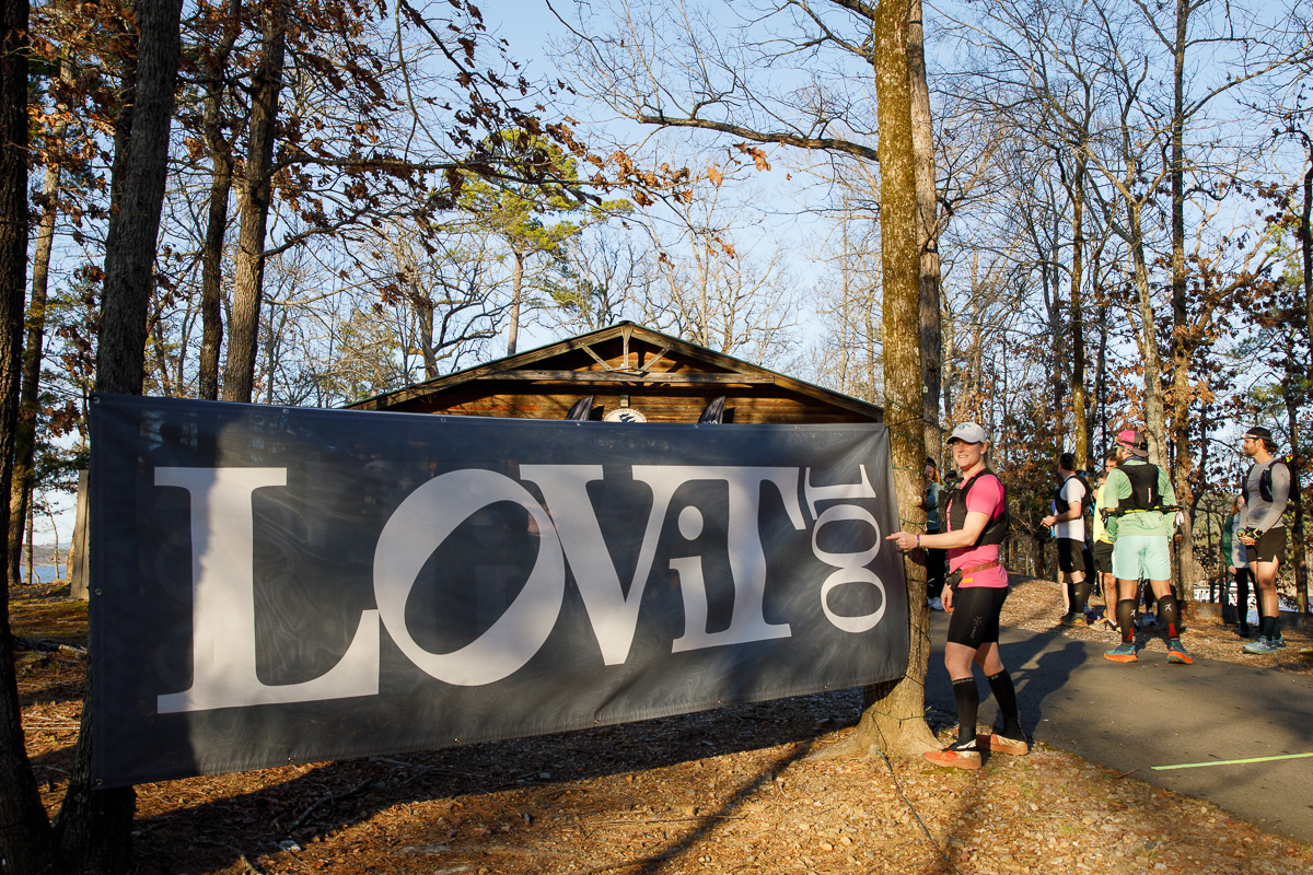
I truly love the LOViT trails and this race. It has a local race feel, and the volunteers take extremely good care of the runners. This was my fourth year to race, and I was curious to see how I would do on the 100-miler after having a solid training block. This race is unique with a 5pm Friday evening start which can be mentally challenging.
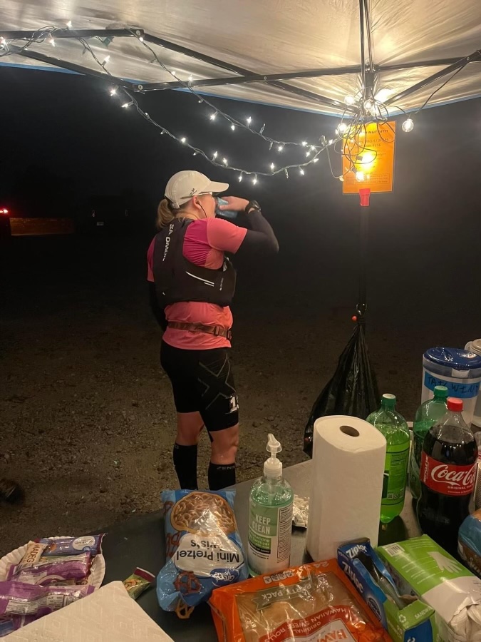
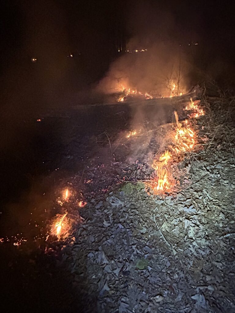
We started off on a warmer than usual evening for late February. The first four miles include some decent climbing to the first aid station, Hickory Nut Mountain Overlook, which is the highest point of the race. After you hit Hickory Nut, it’s a long fast downhill on a gravel road before hitting several miles of rolling single track. A controlled fire management burn before the race was done on an out and back section after Tompkin’s Bend aid station at mile 13. The trail was charred on both sides, and the odor was strong and unpleasant. The air was smoky and thick at times. About 2 miles in, flames were visible in the dark, and as I kept moving along the trail, the flames were just off the edge of the trail. It felt like I had traveled into another world. I, of course, had to stop and get a picture. After about two and half miles, I was out of the smoke and into cleaner air as I made my way to ADA aid station, which is the west end turn around for the 100. Unfortunately, that meant running back through the smoke. The trails are covered with mostly small rocks and leaves, so the footing at times can be tricky, especially in the dark. They don’t say “ankles of steel” at this race for nothing. Unfortunately, I failed to pick up my foot around mile 24 and took a hard fall on the rocks. It was just a flesh wound, but my knee was sore with every step for the next few miles. After seeing my husband at Joplin Road Crossing around mile 29, I was able to get into a rhythm and no longer thought about my knee. I continued to stay on pace for my goal time.
I continued in the night on the single track eventually climbing up to the ridge and then switch backing down to the Charleton aid station at mile 42. After seeing my husband and quickly changing vests, I headed back up the switchbacks and on to Crystal Springs aid station at mile 46. The next 11 miles are some of my least favorite of this course. At mile 50 is a small aid station with some fluids and a few snacks. It’s in the middle of the woods and must be hiked in by generous souls. After this is a long stretch of rollers and rocks which make it challenging to get into a rhythm. It’s one of those sections in a race where it feels like eternity to reach that next aid station. I was looking forward to sunrise at this point, but with sunrise meant a warm afternoon in the late miles.
It was now daylight and I hit the Spillway aid station at mile 61. I knew this aid station had quesadillas in previous years, so I asked a volunteer if they had any. They did, and that bacon and cheese quesadilla was delicious in that early morning hour. I made my way along the trail to Brady Mountain at mile 72 I was still in the lead for the females, but I knew coming up was the section I dreaded the most. Although it is daunting, there’s an area of beautiful emerald moss covering the rocks and trees with sparkling quartz rocks scattered throughout that light up when the sun hits them just right. During this section, I began encountering the 100k runners coming from the opposite direction. I cheered on the leaders and then saw a friend of mine, who seemed to be moving well and looking good. We briefly chatted and then continued our separate ways.
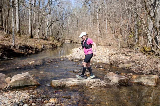
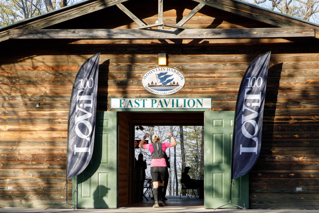
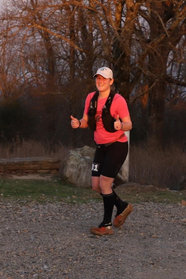
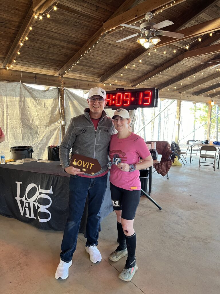
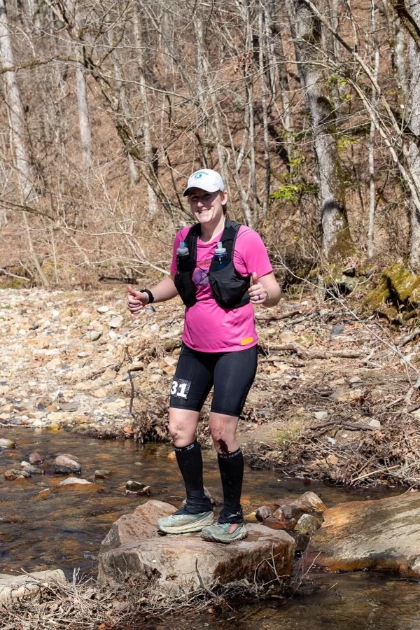
As I made my way back through my least favorite section, I was anxious to get back to the gravel road and head back up to the ridge before Charlton at mile 87. This is a tedious climb that starts around mile5 and feels like it takes so much longer than the first time in the night. I knew second place female was not too far behind me, so I quickly switched out vests at Charleton and trudged back up the switchbacks. I was beginning to really feel the sun on the exposed sections, which I had never encountered at this race before. The water crossings were also the lowest I had ever seen them, and I was able to keep my feet dry, which I had also never experienced on this course. I hit the FS47A aid station at mile 91 and quickly grabbed a shot of Coke and pickle juice. From there, I headed back onto the single track for a few miles. At the end of this trail are a couple of short steep climbs, and my legs were feeling them. I knew that once I made it up these I was close to the gravel road and the home stretch. Once I popped off the trail, I was again at the bottom of Hickory Nut, which is a .75 mile climb to the last aid station at mile 95. I was very familiar with these final 4 miles (the course is a little short of 100). The downhill from Hickory Nut is loose rocks with ruts and difficult to get great footing for fast downhill running. The next mile is a rutted ATV road which was also tough navigate quickly. I then hit the smooth dirt road with 2 miles to the finish. I looked down at my watch and saw I was well under 24 hours. I had to look twice to make sure I was reading it correctly. “Holy hell, I can sub-24,” I said out loud. I couldn’t believe it. I ran the flatter sections and power hiked the hills with a purpose. Once at the end of the road, I turned onto the pavement with 1 mile to go. I was envisioning the finish line. Just one more climb to go. I grinded it out and ran in that last half mile. First female and fourth overall with a time of 23:50. This was also good enough for third fastest female time in course history.
23:50:00
Time
14,288 ft
Total Ascent (Garmin Enduro 2)
4th
Overall
1st
Females
This is a challenging, scenic course with plenty of hills and rocks but also has some nice sections where you can open up and move fast. The aid stations and volunteers are top notch, and the swag is quality. There are plenty of places to stay at the resort with several within walking distance of the start/finish.
